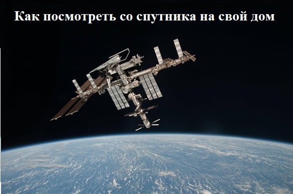
Many users would like to enjoy satellite photos of their native places, see their house, nearby river or forest from above, in a word, everything that is called “the small Motherland”. Satellite cartographic services that provide a unique opportunity to view all the required geolocations in a detailed graphical mode can become a tool for realizing this desire. After my attempts to look from the satellite to my house online, I found really high-quality services and in the article I will share my best practices.


